
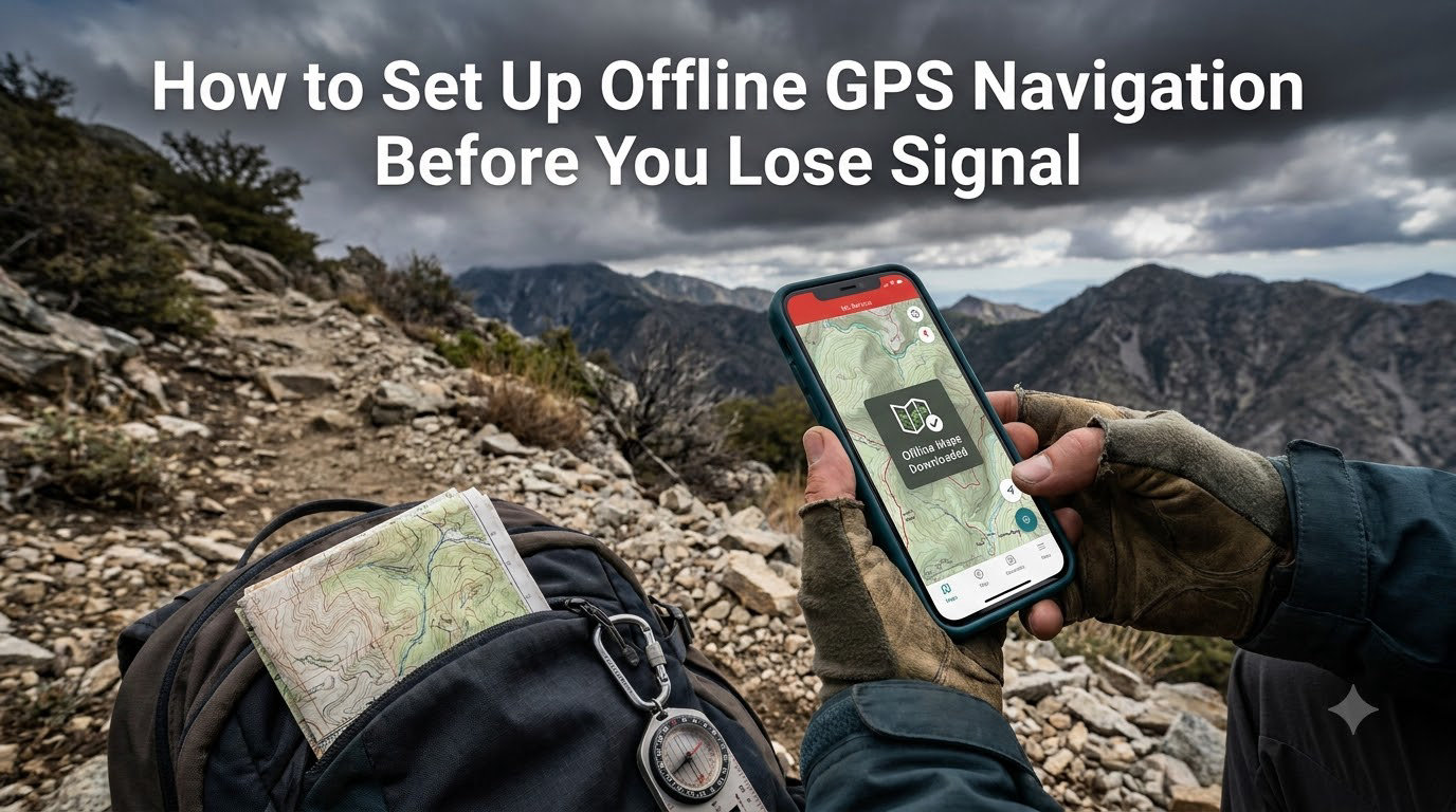
I learned this lesson the hard way three years ago on a remote road trip through eastern Indonesia. My phone lost signal just as I missed a turn, and I spent two hours driving in circles on a logging road before finding a village with Wi-Fi. That day I started setting up offline GPS navigation before every trip, and I have not been lost since.
If you have ever watched your navigation app freeze in a dead zone, you already know why this matters. This guide will show you exactly how to set up offline GPS navigation before you lose signal, so your phone keeps guiding you even when the bars disappear.
Our team has tested every major offline navigation app over hundreds of trips, and we will walk you through the exact steps, app alternatives, and battery tricks that actually work.
Table of Contents
What Offline GPS Navigation Is and How It Works
Offline GPS navigation is the ability to view maps, get turn-by-turn directions, and track your location without a cell signal or internet connection. Your phone pulls map data from local storage instead of downloading it on the fly.
Here is the part most people misunderstand. Your phone’s GPS receiver talks directly to satellites orbiting the earth, not to cell towers. The satellites are constantly broadcasting your position data, and your phone calculates where you are from those signals alone. The internet is only needed when you want to load a new map, search for a place, or refresh traffic data.
When you save maps offline, you are essentially caching the visual map tiles, road networks, and points of interest on your device. The GPS chip still works without any data connection, so your blue dot keeps moving on the screen. This is why offline GPS navigation works in airplane mode, on a ship in the middle of the ocean, and on a mountain ridge far from any tower.
Two things make this possible. First, the GPS satellite network is independent of cellular networks. Second, navigation apps store downloaded map data locally so they can render the map without a server round-trip.
How to Download Google Maps for Offline Use
Google Maps is the easiest starting point for offline GPS navigation because it comes pre-installed on most Android phones and is free on iOS. We recommend Google Maps as the default choice for road trips, city exploration, and general travel.
Follow these steps to download a map region on Android:
- Open the Google Maps app and make sure you are signed in to your Google account.
- Tap your profile picture in the top right corner.
- Select “Offline maps” from the menu.
- Tap “Select your own map” at the top of the screen.
- Pan and zoom the map to frame the area you want to save.
- Tap “Download” to save the region to your device.
- Wait for the download to finish while connected to Wi-Fi to save mobile data.
On iPhone, the steps are nearly identical. The only difference is the menu label reads “Offline Maps” under your profile picture. Apple users can also use Apple Maps, which we cover later in this guide.
Keep a few practical numbers in mind. A city region typically uses 60 to 100 MB of storage. A whole country region can exceed 1 GB. Google Maps caps offline areas at roughly 50 by 50 kilometers, so plan ahead for long road trips and download multiple regions along your route.
Tip: download your maps over Wi-Fi the night before you travel. I run this routine every Friday before a weekend drive and it takes about 10 minutes total for the routes I usually take.
Once downloaded, name your offline map something like “Yogyakarta Trip” so you can find it later. Google Maps will auto-delete offline maps after 30 days if they go unused, so refresh them before long gaps.
Best Offline Navigation Apps Beyond Google Maps
Google Maps is great for most trips, but it has limits. It does not support GPX file imports, hiking trails can be thin, and turn-by-turn voice navigation sometimes drops on truly remote routes. Below are the apps our team relies on for specific situations.
Apple Maps works well for iPhone users who want a cleaner interface and built-in offline support. You access it the same way as Google Maps through your profile picture, then tap “Offline Maps.” Apple Maps prioritizes road networks and tends to be reliable for driving directions in North America and Europe.
HERE WeGo is the strongest cross-platform option for international travel. It lets you download entire countries, supports public transit routes, and includes offline search for restaurants, gas stations, and ATMs. We use HERE WeGo whenever we travel abroad and do not want to burn through a roaming data plan.
Maps.me is a longtime favorite among backpackers. The app is lightweight, fast, and works on weak phones. It is community-driven, so the hiking and trail coverage in Southeast Asia is excellent. The free version includes offline turn-by-turn navigation for most regions.
Organic Maps is the open-source alternative for users who want a privacy-first option with no ads and no tracking. It uses OpenStreetMap data and supports offline routes for driving, walking, and cycling. Hikers on Reddit frequently recommend it as a free replacement for AllTrails.
For serious outdoor use, Gaia GPS is the gold standard. It supports layered maps including USGS topo, satellite imagery, and slope angle overlays. The premium subscription unlocks GPX file imports, which is critical for hikers who want to follow recorded trails. If you only need a single app for hiking, this is the one.
Which Offline Navigation App Should You Pick?
Match the app to your trip. Driving across a country? Use Google Maps or HERE WeGo. Hiking a multi-day trail? Pick Gaia GPS or Organic Maps. Backpacking Southeast Asia with a cheap phone? Maps.me is hard to beat. Most of our team keeps two apps installed as a backup in case one misbehaves.
How to Use Offline Maps When You Have No Signal
Once your maps are downloaded, using them is straightforward. Open the navigation app, type in your destination, and the app will route you using the locally stored map data. You will see your blue dot moving in real time thanks to the GPS chip talking to satellites.
Voice-guided turn-by-turn directions work offline on Google Maps, Apple Maps, HERE WeGo, and Maps.me. You will not get live traffic updates, road closures, or alternative route suggestions, but the core navigation still works. In our testing, voice prompts arrived within one second of the actual turn on most rural routes.
Search is the one feature that breaks most often. Without an internet connection, Google Maps can only find places that are already inside the downloaded map region. If you cannot find a specific restaurant, zoom out and search a broader area, or simply pre-load the address before you leave Wi-Fi.
Pro tip: download a larger region than you think you need. If you decide to detour to a nearby town, you will still be able to navigate there without scrambling for a signal.
Battery and Storage Tips for Long Trips
Offline GPS navigation is friendlier on your battery than streaming maps, but it still drains faster than normal use. The GPS chip, screen, and voice prompts all draw power. Here are the habits I follow on multi-day trips.
Lower your screen brightness to around 50 percent and turn off auto-brightness. The screen is the single biggest battery drain during navigation. Mount your phone in a cradle so you do not need to wake the screen constantly.
Switch to airplane mode when you are in a true dead zone. This stops your phone from constantly searching for a cell signal, which can save 20 to 30 percent battery over a full day. The GPS chip works fine in airplane mode, so navigation keeps running.
Carry a small 10,000 mAh power bank. It costs less than 25 dollars and can recharge your phone two to three times. On a recent four-day hike, my power bank kept my phone alive for the entire trip without needing a wall outlet.
For storage, audit your offline maps every few months. Delete old regions you no longer need to free up space for new trips. Most phones today have 128 GB or more, so storage is rarely a problem unless you download entire continents.
Common Mistakes to Avoid With Offline Maps
Most navigation failures come from a handful of predictable mistakes. Avoid these and you will rarely get stuck.
Do not download your maps over cellular data the morning of the trip. You risk burning through your data cap and ending up with a half-downloaded region. Always use Wi-Fi and give yourself at least a day of buffer.
Do not forget to refresh your maps. Google Maps expires offline regions after 30 days without use. If you plan a trip every few months, open the app and re-download the regions a day before you leave.
Do not rely on a single app. Free apps change their policies, servers go down, and downloads can fail. Install at least two offline navigation apps so you have a fallback. I keep Google Maps and HERE WeGo on every device.
Do not assume voice navigation works on every app. Some free hiking apps only show your position on a map without spoken directions. Test the app on a short walk before depending on it for a long trip.
Do not ignore GPX file support if you hike. GPX files are the standard way to share and follow recorded trails. Gaia GPS and Organic Maps both support GPX imports, which lets you download trails from sites like AllTrails and Wikiloc.
Frequently Asked Questions
How to use GPS navigation without internet?
Open your navigation app and download the map region you need while you still have Wi-Fi. Once downloaded, your phone’s GPS chip will track your location using satellite signals alone, and the app will give you turn-by-turn directions from the locally stored map data.
How to use GPS without signal?
Turn on airplane mode to stop your phone from searching for a weak cell signal, then open Google Maps or another offline navigation app. Your GPS receiver will continue to communicate with satellites, so your location and directions will keep working even without any cellular connection.
How to set offline navigation?
In Google Maps, tap your profile picture, select Offline Maps, and choose Select Your Own Map. Pan and zoom to frame the area you want, then tap Download. The process is similar in Apple Maps, HERE WeGo, and Maps.me.
How to stop GPS signal lost?
You cannot recover a true cell signal in a remote area, but you can prevent the problem by turning on airplane mode to save battery and switch to a fully downloaded offline map in Google Maps, HERE WeGo, or another navigation app. The GPS satellite signal itself rarely drops indoors or in deep canyons, so a clear view of the sky solves most issues.
What apps work without internet for GPS?
Google Maps, Apple Maps, HERE WeGo, Maps.me, Organic Maps, and Gaia GPS all support offline navigation. Google Maps and Apple Maps are best for driving, while Gaia GPS and Organic Maps are top picks for hiking thanks to GPX file support and detailed trail data.
Final Thoughts on Setting Up Offline GPS Navigation
Setting up offline GPS navigation before you lose signal takes about 10 minutes per trip and can save you hours of stress. Download your maps on Wi-Fi, install a backup app, and pack a small power bank. With those three habits, you can navigate confidently through dead zones, foreign countries, and remote hikes.
Start with Google Maps today if you have not already, then add Gaia GPS or Organic Maps for your next outdoor adventure. Your future self will thank you the next time the bars disappear.
1 thought on “How to Set Up Offline GPS Navigation Before You Lose Signal (September 2026)”