
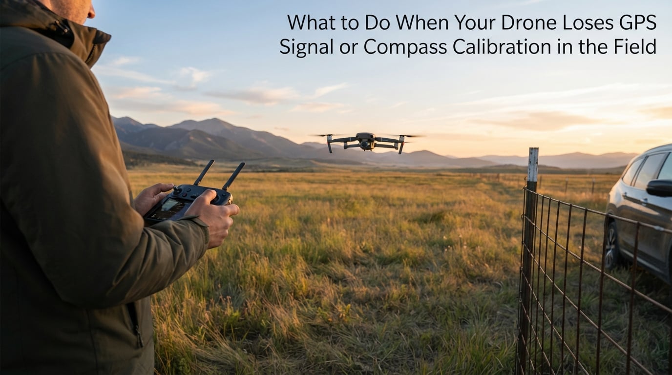
I have watched a drone drift sideways into a tree because a pilot ignored a “fly with caution” warning near a parking structure. That single mistake cost a $1,600 airframe. When your drone loses GPS signal or compass calibration in the field, the next 60 seconds decide whether you recover the aircraft or write it off. This guide covers what actually works, drawn from official manufacturer procedures, repair shop techniques, and real pilot reports from drone forums.
Whether you fly a DJI Mini 4 Pro, an Autel EVO II, a Parrot Anafi, or a Skydio 2+, the recovery logic is the same. The hardware may differ, but the failure modes and the fixes overlap by roughly 90%. I will walk you through understanding the failure, identifying the cause, recovering the aircraft in the field, and preventing the next incident.
Table of Contents
What Happens When Your Drone Loses GPS Signal or Compass Calibration
Your drone uses two separate systems to know where it is and which way it is pointing. GPS (or GNSS) tells the flight controller its position in space. The magnetometer, often called the compass, tells it which direction is north. When either system fails, the drone falls back to ATTI mode, which is attitude-only flight using the gyroscope and accelerometer.
ATTI mode sounds technical, but the practical effect is simple. The drone can still hover, but it cannot hold position. It drifts with the wind. It will not execute a return-to-home (RTH) reliably. Any waypoint mission or position-dependent intelligent flight mode stops working. On most consumer drones, you also lose the geofencing protections that keep you out of restricted airspace.
Compass calibration failure is different from a GPS dropout. A GPS dropout means the drone sees fewer than 6 to 8 satellites. A compass error means the magnetometer is reading corrupted magnetic data, usually because of electromagnetic interference (EMI) near the aircraft. Both problems trigger “fly with caution” warnings, but the recovery procedure differs.
Common Causes of Drone GPS Signal Loss and Compass Errors
Around 90% of GPS and compass failures are environmental, not hardware. Here are the triggers I see most often in field reports and repair logs.
- Electromagnetic interference. Power lines, transformers, cell towers, Wi-Fi routers, rebar in concrete, vehicle bodies, and buried metal all generate magnetic noise that corrupts the magnetometer reading.
- Physical obstructions. Buildings, cliffs, dense tree canopy, and mountainous terrain block or reflect GPS signals. Urban canyons are particularly bad because signals bounce off glass and steel.
- Solar activity. Geomagnetic storms from the sun can degrade GPS accuracy worldwide. Check space weather alerts before flying on critical missions.
- Outdated firmware and almanac data. The almanac is the satellite schedule your drone downloads. If it is stale (older than 30 to 60 days), acquisition time lengthens and lock becomes unreliable.
- Recent transport. Drones that have been driven or flown to a new location often need recalibration because the local magnetic field differs from the previous launch point.
- Internal hardware drift. Rare, but the magnetometer can drift over time. IMU (Inertial Measurement Unit) drift causes similar symptoms and requires a separate calibration.
One symptom pilots describe as the “toilet bowl effect” is actually a compass error in disguise. The drone slowly orbits a point instead of holding position because the flight controller is getting bad heading data and keeps correcting in the wrong direction. If you see this, stop flying immediately and land manually.
Step-by-Step Field Recovery Procedure When GPS or Compass Fails
This is the procedure I would run if my own drone lost GPS mid-flight. Follow these steps in order. Do not skip steps.
Step 1: Stay Calm and Maintain Visual Line of Sight
The single biggest mistake pilots make during a signal loss is panicking and yanking the sticks. Keep the drone in your visual line of sight. Note your altitude, your heading relative to home, and any obstacles between you and the aircraft. Take a breath. Most GPS lockouts last less than 30 seconds.
Step 2: Read the Error Code on Your App
DJI Fly, Autel Sky, and Parrot FreeFlight all display specific error codes. DJI code 30008 means “satellite positioning signal weak, hovering unstable, fly with caution.” Code 30007 indicates GPS module abnormal. Other codes point to magnetometer or IMU failures. Screenshot the error if you can; this matters for warranty claims and repair diagnostics.
Step 3: Move to a Clear Area
If you are on the ground, pick up the aircraft and walk at least 30 feet (10 meters) from any metal object, vehicle, or concrete structure. Multiple Reddit pilots report that simply moving away from a parking garage or chain-link fence cleared their calibration failures. Open grass is ideal.
Step 4: Power Cycle Aircraft and Controller
Turn off the aircraft, then the controller. Wait 10 seconds. Power the controller back on first, then the aircraft. This clears temporary sensor locks and forces a fresh satellite search. Many pilots report this single step resolves intermittent failures.
Step 5: Recalibrate the Compass in Open Space
Only attempt calibration away from metal. Hold the aircraft horizontally and rotate it 360 degrees until the app confirms. Then hold it vertically (nose down) and rotate again. The whole process takes 60 to 90 seconds. If it fails, repeat once. If it fails twice, do not retry a third time. Move further from suspected interference instead.
Step 6: Use Manual ATTI Mode if Needed
If you must bring the drone home with no GPS, switch to ATTI mode (usually a toggle in the app or on the controller). You will need to control the aircraft manually. Keep movements slow, use small stick inputs, and land into the wind. Do not attempt aggressive maneuvers without position hold.
Step 7: Execute a Safe Landing
Bring the drone down slowly in the clearest available spot. Cut the motors only when the aircraft is on the ground or you are certain a hard impact is unavoidable. Power down before approaching. Inspect the propellers, gimbal, and airframe before the next flight.
Advanced Troubleshooting: Degaussing and Brand-Specific Fixes
When the standard procedure fails, you need advanced techniques. These are the methods professional repair technicians use.
Degaussing for stuck magnetometers. Sometimes the magnetometer retains a magnetic bias after exposure to a strong field. Passing the drone near a strong alternating magnetic field can reset the sensor. Some technicians use a degaussing coil; others wave the aircraft slowly past a laptop hard drive or CRT television. This is a last resort, not a first step. If you are not comfortable with the technique, send the aircraft to a service center.
DJI Fly versus DJI Pilot 2 calibration. DJI Fly (consumer) and DJI Pilot 2 (enterprise) handle compass calibration differently. Pilot 2 offers a manual IMU calibration mode and exposes raw magnetometer data. If you are flying a Matrice or Mavic 3 Enterprise, use Pilot 2 for advanced diagnostics. Consumer pilots should stick with DJI Fly.
Autel, Parrot, and Skydio differences. Autel drones calibrate through the Sky app with a similar rotation sequence. Parrot Anafi uses Pix4Dcapture or FreeFlight 6 and may require a connected tablet. Skydio 2 and 2+ use visual SLAM rather than GPS for navigation in many environments, so a GPS loss does not disable position hold. If you fly multiple brands, learn each app’s error code list before you need it.
When to suspect hardware failure. If calibration fails consistently across multiple locations, days, and firmware versions, the magnetometer is probably damaged. Common causes include crashes, water intrusion, and ribbon cable damage. Open the aircraft only if you have the tools and skills. Otherwise, contact the manufacturer or a certified repair center.
Firmware as a last-ditch software fix. Older DJI drones had bugs that caused false compass errors. Updating to the latest firmware resolves many of these. Check the manufacturer’s release notes for your specific model before flashing.
Prevention Tips to Avoid GPS and Compass Failures
Prevention is cheaper than recovery. Here is the pre-flight checklist I use on every mission in 2026.
- Launch in open space. Find a clear area at least 30 feet from vehicles, buildings, fences, and power lines.
- Allow warm-up time. Power the aircraft on and wait 30 to 60 seconds before takeoff. This lets the GPS almanac update and the IMU stabilize.
- Recalibrate after transport. If you drove or flew more than 50 miles from your last launch point, recalibrate the compass before flying.
- Update firmware monthly. Manufacturers release calibration and sensor fixes regularly. Apply updates at home, not in the field.
- Check space weather. For GPS-critical mapping or survey work, monitor the NOAA Space Weather Prediction Center for geomagnetic storm warnings.
- Carry a backup landing pad. If your primary launch point becomes unusable, a small portable pad lets you move to clear ground fast.
Detection matters too. Before takeoff, watch the satellite count. Fewer than 8 satellites is a yellow flag. Fewer than 6 means you will fly in degraded GPS mode. Note the compass health indicator in your app. If it reads “poor” or shows large deviations between sensors, recalibrate before launching.
Frequently Asked Questions
Why would a drone lose GPS signal?
A drone loses GPS signal most often because of environmental interference. Tall buildings, dense tree canopy, cliffs, and urban canyons block or reflect satellite signals. Electromagnetic interference from power lines, transformers, cell towers, vehicles, and rebar in concrete can also disrupt the magnetometer, which often appears as a GPS-related error. Solar storms and outdated firmware are less common but documented causes.
How do I fix compass calibration on my drone?
Move to an open area at least 30 feet from any metal object, power cycle the aircraft and controller, then perform the calibration sequence (horizontal rotation followed by vertical rotation). If calibration fails twice, move further from suspected interference rather than retrying a third time. Updating firmware resolves many persistent calibration bugs.
How do I fix weak GPS signal on my drone?
Open area launch is the single most effective fix. Power cycle the aircraft and controller, wait 30 to 60 seconds for warm-up, and verify your app shows 8 or more satellites before takeoff. For persistent weak signal, update firmware, check the GPS almanac freshness, and avoid flying during solar storms.
Can I fly my drone with a compass error warning?
You can, but you should not unless the mission is critical and you are a skilled manual pilot. A compass error usually means the drone will enter ATTI mode and cannot hold position, cannot execute return-to-home reliably, and may drift with the wind. The risk of flyaway or crash is significantly higher. Land as soon as it is safe to do so.
Why does my drone keep needing compass calibration?
Recurring calibration requests usually mean the drone is being launched near electromagnetic interference (vehicles, concrete with rebar, metal fences) or the local magnetic field has changed (after transport to a new area). If calibration fails at multiple locations across multiple days, the magnetometer itself may be damaged and require service.
Final Word on Field Recovery
When your drone loses GPS signal or compass calibration in the field, the playbook is short: stay calm, read the error code, move to open ground, power cycle, recalibrate, and land. Most recoveries take under five minutes. If you fly DJI, Autel, Parrot, or Skydio, learn your app’s specific error codes now, before you need them. For more field-tested drone troubleshooting guides, bookmark our site and check back as we publish new content in 2026.