
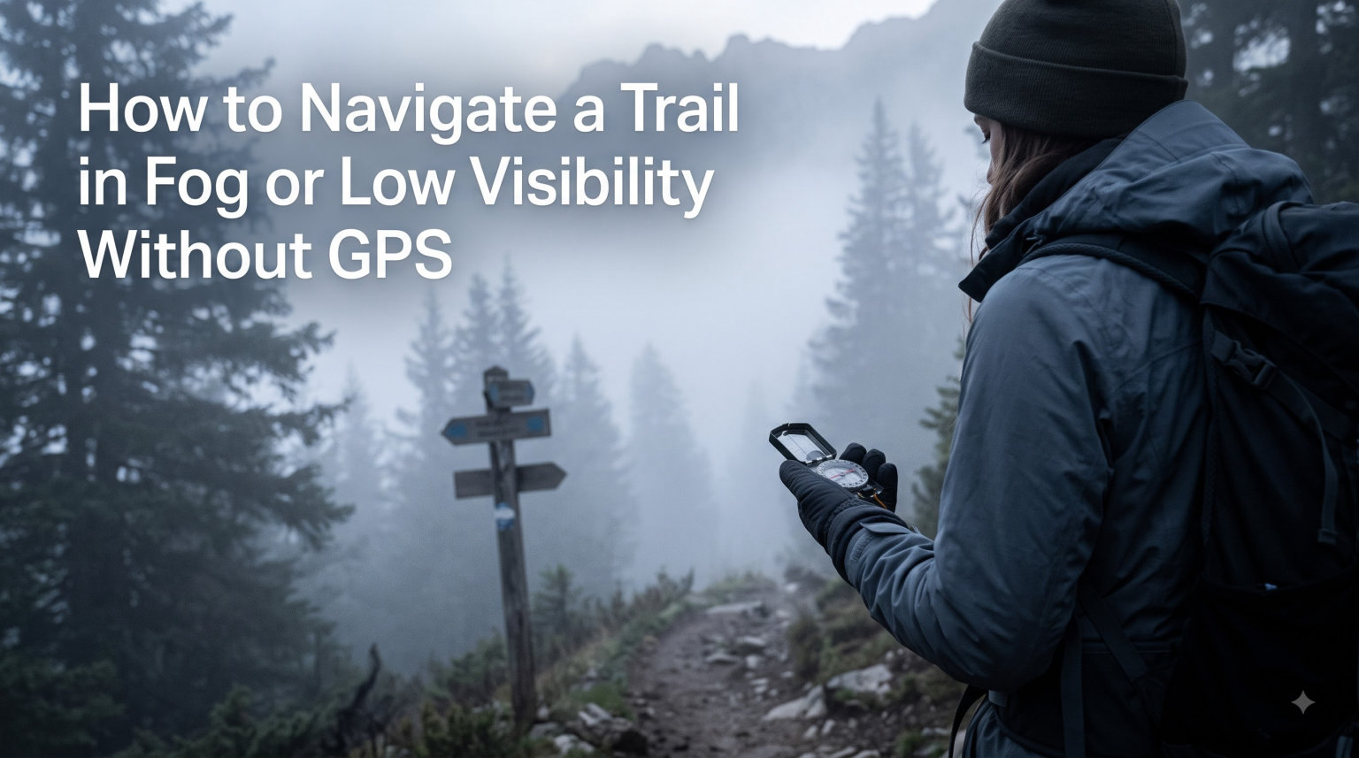
If you have ever stepped into a cloud on a ridgeline and watched the trail vanish behind you, you already know why this skill matters. Learning how to navigate a trail in fog or low visibility without GPS gives you a level of certainty that no device can match. Batteries die, phone signals disappear, and screens fog up at the worst possible moment. The only thing that does not fail is the skill in your head and the tools on your lanyard.
I have been caught in low visibility on more than one trail, and the hiker who keeps moving calmly always arrives safely. In this guide, I will walk you through the exact techniques used by mountain rescue teams and seasoned backcountry travelers. You will learn preparation, compass work, terrain association, the five D’s framework, leapfrogging, and natural cues. By the end, you will know exactly how to navigate a trail in fog or low visibility without GPS, no matter what the weather throws at you.
Table of Contents
Essential Preparation Before Your Hike
Navigation begins at home, not on the trail. The most important step to navigate a trail in fog or low visibility without GPS is planning every detail before you lace up your boots. Walk through your route on a paper map and mark checkpoints, escape routes, and water sources.
Circle landmarks like river junctions, ridge saddles, and trail intersections. Decide what you will do if visibility drops to zero. Pack analog tools: a baseplate compass, a waterproof paper map, a whistle, a head torch, and a small notebook. Charge your phone if you carry one, but treat it as a backup, not a primary tool.
Check the weather forecast and the sunrise and sunset times. I always plan to be off exposed terrain before dark. Tell someone your route and expected return time. That single habit has saved more hikers than any gadget ever made.
Build a Pre-Hike Checklist
- Study map and identify at least three checkpoints per segment
- Note escape routes off ridges and out of valleys
- Confirm compass, map, and torch are in your pack
- Verify weather, daylight, and terrain conditions
- Inform a contact of your route and timing
Compass and Map Basics for Low Visibility
Compass and map are the foundation of how to navigate a trail in fog or low visibility without GPS. Place your compass on the map and rotate the map until north on the map aligns with magnetic north on the compass. This is called orienting the map.
Once oriented, identify your position by matching terrain features to map symbols. Take a bearing by pointing your compass at a target, rotating the bezel, and reading the azimuth. Walk that bearing while keeping the needle aligned. In fog, you will not see your target, so the bearing becomes your invisible guide.
Taking a Bearing Step by Step
- Hold the compass flat at waist height
- Point the direction-of-travel arrow at your target
- Rotate the bezel until the magnetic needle sits inside the orienting arrow
- Read the number on the bezel; this is your bearing in degrees
- Walk forward while keeping the needle aligned
Adjust for declination, the difference between magnetic north and true north, by adding or subtracting the local value shown on your map. Most recreational compasses need this correction. If you forget, your course drifts noticeably over distance and will eventually lead you off route.
Topographic maps use contour lines to show elevation. Closely spaced lines mean steep terrain. Widely spaced lines mean gentle slopes. Reading these lines helps you understand terrain that you cannot see in fog, which is a major advantage when figuring out how to navigate a trail in fog or low visibility without GPS.
Terrain Association Techniques
Terrain association is the skill of matching what you see on the ground to what you see on the map. It is the most practical way to navigate a trail in fog or low visibility without GPS because it uses real-time feedback from your environment.
Look for handrails, which are linear features like streams, shorelines, and ridges that lead in a useful direction. Use catching features, which are obstacles like cliffs and bogs that force you to change direction. Both appear on your map and act as natural guardrails when visibility drops.
Identify checkpoints, distinctive features you expect to reach at a known distance. A stream crossing, a saddle, or a boulder field can serve as a checkpoint. As you travel, count checkpoints off your list. When you reach the expected one, you are on track. When you reach it at the expected distance, you are confident.
Constantly glance at the map. Every 10 minutes in good visibility, every 2 minutes in fog. This habit keeps you oriented and prevents the slow drift that gets people lost.
Pacing and Distance Estimation
Knowing how far you have walked is critical when you cannot see landmarks. Pace counting is a simple way to estimate distance without GPS. Measure your personal pace count on a measured course ahead of time.
Walk 100 meters and count how many double steps you take. Most adults use 60 to 70 double steps per 100 meters on flat ground. Subtract 10 to 15 paces on steep uphills and add the same on downhills. Practice this on flat ground, uphill, and downhill.
For pacing to work, you must count accurately. Use a counting bead worn around your neck or a small tally counter. In fog, I count every 100 paces out loud in a whisper. It keeps my mind from drifting and keeps my tracking honest.
Pair pacing with time. A 30-minute timing estimate using a watch is a strong backup when measuring distance becomes hard. When learning how to navigate a trail in fog or low visibility without GPS, mastering both gives you two independent checks.
The Five D’s Framework for Route Planning
The five D’s framework is a simple mental checklist that helps you plan and follow any leg of navigation. According to Edale Mountain Rescue Team, this is how to navigate a trail in fog or low visibility without GPS with confidence.
- Direction: Which bearing are you walking. Pick a single compass heading and commit to it.
- Duration: How long will this leg take. Plan in 20 to 30 minute chunks.
- Distance: How far. Use pacing and timing to confirm you covered it.
- Description: What will you see when you arrive. A stream, a cairn, a saddle.
- Destination: The exact named feature on the map. Be specific, not vague.
Run through the five D’s before every leg. After every leg, check whether duration, distance, and description match expectation. If they do, you are on track. If they do not, stop and reorient before continuing. This habit catches 90 percent of navigation errors before they become serious.
Leapfrogging Technique for Featureless Terrain
Leapfrogging is the technique you use when fog is so thick you cannot see your feet after a few steps. It keeps you moving on a bearing without drifting to the side. This is one of the most reliable ways to navigate a trail in fog or low visibility without GPS when the trail itself disappears.
You need a buddy or a fixed marker. Walk ahead on your bearing until you lose sight of the marker or your partner. Stop and let them catch up. Then walk ahead again to a new marker point. Repeat. Each segment is short, but your overall direction stays true.
How to Leapfrog in Fog
- Identify a fixed marker behind you, such as a boulder or your partner
- Walk forward on your bearing until you lose sight of the marker
- Stop and shout or signal so your partner can reach your position
- Choose a new marker behind you and repeat
- After each leg, verify your bearing with a compass check
If you are solo, use a brightly colored flag or a tied piece of tape every 50 meters. Come back to the last marker before each leap forward. This keeps you locked on the bearing and prevents the spiraling that solo hikers experience in featureless terrain.
Natural Navigation Cues: Sun, Vegetation, and Wind
Natural navigation is a backup, but a powerful one. The sun, wind, vegetation, and even clouds can guide you when no tools are available. Knowing these cues is essential to navigate a trail in fog or low visibility without GPS.
The sun rises in the east and sets in the west. In the Northern Hemisphere, the sun sits in the southern half of the sky at midday. Use the shadow stick method. Drive a stick into the ground, mark the tip of its shadow, wait 15 minutes, and mark again. The line between the two points runs east to west. This works even in hazy sun through fog.
Wind direction is more reliable than most people think. Even in fog, wind has a steady direction. Spend a day learning the prevailing wind in your area. On subsequent trips, that wind becomes a constant reference for direction. It is one of the most underrated cues for how to navigate a trail in fog or low visibility without GPS.
Vegetation gives clues. Tree branches are often larger on the windward side. Moss is unreliable as a north indicator; it grows wherever humidity is high. However, the curved trunk of a tree can indicate the prevailing wind, which over many seasons becomes a directional anchor.
Social trails and game paths often follow contours or lead to water. Used with caution, they can guide you to a known feature on your map. Treat them as a hint, not a guarantee.
Using a Head Torch Effectively in Fog
A head torch in fog can actually make things worse. The beam reflects back off water droplets and creates a wall of glare. Two simple tricks solve this.
First, hang the torch from your neck or coat pocket so the beam points downward and forward, not straight ahead. This reduces reflection and saves your night vision. Second, dim the beam to the lowest usable setting. You will see terrain features without lighting up the fog.
Aim the beam at the ground 3 to 4 meters ahead. Your peripheral vision picks up the wider landscape, which helps you notice cairns, blazes, and trail edges that you would miss with a focused beam.
Emergency Strategies When Lost
If you reach a point where you cannot identify your location, stop. The single most important skill in how to navigate a trail in fog or low visibility without GPS is the discipline to stop moving when you are uncertain.
Use the STOP method. Stop. Think. Observe. Plan. Stop means drop your pack and sit if you need to. Think means review your last known point and the five D’s for the leg you were on. Observe means look at the map, the ground, and the weather. Plan means choose a clear next action, such as backtracking or sheltering in place.
If you have a known escape route back to safety, backtrack along your last bearing. If you are unsure, stay put and signal. Three of anything is the universal distress signal: three whistle blasts, three flashes of light, three shouts. Repeat at intervals. Rescue teams prefer to find a stationary person than chase a moving one.
Build a shelter if you are spending the night. Stay warm, hydrated, and visible. Patience and calm are the most important survival tools, and you already carry them in your head.
Frequently Asked Questions
Is it possible to navigate without GPS?
Yes. Navigating without GPS is not only possible, it is the foundation of every traditional hiking and mountaineering skill. Using a compass, paper map, terrain association, pacing, and natural cues, you can find your way in fog, at night, and in featureless terrain. Building these skills ensures you are never dependent on a single device.
How do you navigate in poor visibility?
In poor visibility, follow these steps: 1) Stop and orient your map using your compass. 2) Take and follow a bearing to your next checkpoint. 3) Use pacing and timing to confirm distance. 4) Use catching features like streams and ridges to keep you on track. 5) Use leapfrogging if fog is too thick to see the trail itself.
How do you navigate through fog?
Navigate through fog by combining compass bearings, terrain association, and pacing. Orient your map, take a bearing to your next visible feature, count paces to that feature, and confirm using the five D’s framework. Use a head torch on low beam, hang it from your neck to reduce glare, and pause every 10 minutes to verify your position.
How do you use navigation without GPS?
You use navigation without GPS by mastering four core skills: compass and map work, terrain association, pacing, and route planning. Always plan your route at home using the five D’s framework, carry analog tools, and confirm your position at every checkpoint. Practice these skills on easy trails before relying on them in serious terrain.
Final Thoughts on Trail Navigation Without GPS
Learning how to navigate a trail in fog or low visibility without GPS is one of the most rewarding skills a hiker can develop. It removes the anxiety of battery failure and signal loss. It replaces dependence with confidence. Every trip into the backcountry becomes safer when you can answer your own questions about direction, distance, and position.
Practice these techniques on easy, familiar trails before you need them in serious terrain. Take a navigation course. Walk with a friend who uses a compass. Rehearse the five D’s, leapfrogging, and pacing until they feel automatic. The next time fog rolls in, you will not panic. You will pull out your compass, take a bearing, and walk forward with certainty.
No technology can replace the feeling of knowing exactly where you are. Build that feeling today, and it will serve you for the rest of your hiking life.