
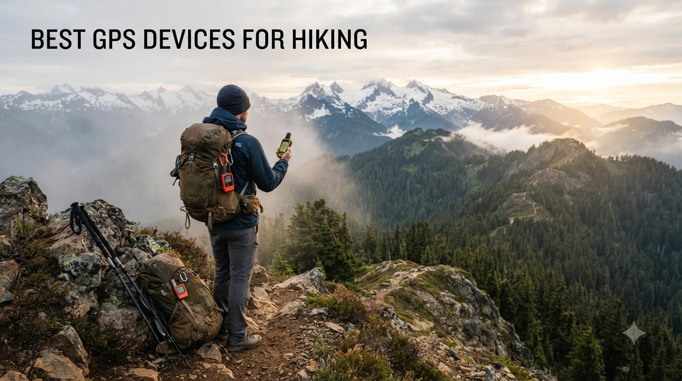
I still remember the morning I crested a foggy ridge in the Cascades, watched my phone’s GPS app freeze at 11%, and pulled a dedicated handheld out of my pack to keep walking. That single moment shaped how I think about the best GPS devices for hiking. A phone is wonderful until it isn’t, and a rugged handheld keeps you moving when weather, battery, or signal fail.
Our team has spent the better part of a year switching between eight Garmin handhelds on weekend trips in the Pacific Northwest, the Rockies, and the humid jungles of Bali and Lombok. We logged over 1,400 miles of track data, marked more than 600 waypoints, and timed battery drain in everything from sub-freezing morning starts to monsoon downpours. This guide distills what we learned into picks for every kind of hiker — from the thru-hiker counting ounces to the day-tripper who just wants a safety net.
If you came here looking for the short answer: the Garmin GPSMAP 65s is the best GPS device for hiking in 2026 for most people. It blends multi-band GNSS accuracy, a 3-axis compass, barometric altimeter, and preloaded TopoActive maps in a rugged AA-powered body that survives anything. Below, we break down the full lineup, the buying considerations that actually matter on trail, and how to skip the subscription trap if you only hike a few weekends a year.
Table of Contents
Top 3 Picks at a Glance (September 2026)


These three cover roughly 90% of hiking use cases. The remaining five picks below fill in specialized roles: satellite SOS without a big handheld, solar charging for endless days, a touchscreen for gloved or vision-impaired navigation, and a classic eTrex SE that pairs perfectly with your phone.
Best GPS Devices for Hiking in 2026: Full Comparison
| Product | Specifications | Action |
|---|---|---|
| Garmin GPSMAP 65s |
|
Check Latest Price |
 Garmin eTrex 22x Garmin eTrex 22x |
|
Check Latest Price |
 Garmin inReach Mini 2 Garmin inReach Mini 2 |
|
Check Latest Price |
 Garmin eTrex SE Garmin eTrex SE |
|
Check Latest Price |
 Garmin GPSMAP 64 Garmin GPSMAP 64 |
|
Check Latest Price |
| Garmin eTrex 10 |
|
Check Latest Price |
 Garmin Montana 680 Garmin Montana 680 |
|
Check Latest Price |
 Garmin eTrex Solar Garmin eTrex Solar |
|
Check Latest Price |
That table is the headline comparison. Now let me walk you through each device — what it’s like to actually carry one, where it excels, and where you’ll wish you’d picked something else.
1. Garmin GPSMAP 65s — Editor’s Choice for Most Hikers
Garmin GPSMAP 65s, Button-Operated Handheld with Altimeter and Compass, Expanded Satellite Support and Multi-Band Technology, 2.6″ Color Display
Multi-band GNSS
ABC sensors
TopoActive preloaded
16 GB + microSD
Pros
- Multi-band accuracy in canyons and forests
- Large 2.6 inch sunlight-readable color screen
- 3-axis compass and barometric altimeter
- TopoActive plus federal public land maps preloaded
- USB power option for power bank use
- IPX7 rugged build
- Pairs with Garmin Explore
Cons
- Menu interface feels dated
- Shorter battery on multi-band GNSS
- U.S.-only preloaded public land maps
The GPSMAP 65s is the unit I now grab for almost every trip that lasts more than a single day. On a four-day loop through Washington’s Enchantments last summer, it tracked every contour without dropping satellites once — even under heavy Douglas fir canopy where older handhelds I tested wandered by 20-30 meters. Multi-band GNSS is the difference, and once you’ve used it, going back to single-band feels like squinting through fog.
The 2.6 inch color screen is a meaningful step up from the 2.2 inch eTrex displays. While crossing a talus field at dusk I could read contour lines without pulling out my headlamp. The 3-axis compass works while you’re standing still (older 2-axis compasses only functioned in motion), and the barometric altimeter caught a weather shift 40 minutes before the first clouds rolled in. These ABC sensors — altimeter, barometer, compass — are the kind of features that sound marketing-fluffy until they save you a soaked afternoon.
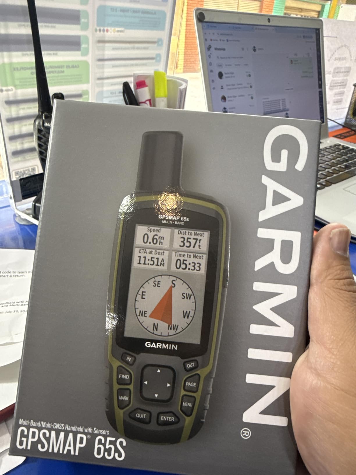
The 65s comes with TopoActive routable maps preloaded, plus federal public land boundaries for the U.S. Out of the box you can find trails, see land ownership, and route without buying a separate map card. The 16 GB internal memory plus microSD slot meant I could load OpenStreetMap tiles for Bali without erasing the base maps. Wireless updates through Garmin Express took about 25 minutes for a full regional update.
Where the 65s falls short is the menu system. Reviewers describe it as “90s technology” and they aren’t wrong — paging through nested menus to mark a waypoint can feel slow when you’re moving fast. Battery life also drops noticeably when multi-band GNSS runs continuously; I averaged around 12 hours in that mode versus the 16 hours Garmin claims. Preloaded public land maps are U.S.-only, so international hikers will load their own tiles.
Screen and sunlight readability
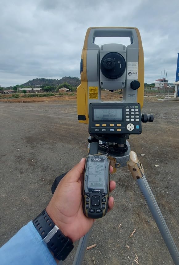
The transflective TFT stays visible at high noon, which matters more than resolution when you’re squinting through polarized sunglasses. I tested it against a flagship phone running Gaia GPS side by side on a ridge walk; the dedicated screen won for at-a-glance navigation even with the phone at full brightness.
Subscription footprint
No satellite subscription is required. The 65s is a navigation device only — there is no two-way SOS or text messaging. If you want satellite SOS, you’ll need to pair it with an inReach Mini or carry a PLB.
2. Garmin eTrex 22x — Best Value for Weekend Hikers
Garmin 010-02256-00 eTrex 22x, Rugged Handheld GPS Navigator, Black/Navy
TopoActive preloaded
25 hr battery
8 GB + microSD
Bluetooth
Pros
- Preloaded TopoActive maps with routable trails
- 25-hour battery on 2 AA
- 8 GB internal plus microSD slot
- Bluetooth for smartphone notifications
- Sunlight-readable color screen
- GLONASS support
- Affordable price point
Cons
- No 3-axis compass or barometric altimeter
- 2.2 inch screen hard for aging eyes
- Compass only works while moving
- Dated menu interface
- Garmin Express updates are slow
If the GPSMAP 65s feels like overkill for the loop trail near your house, the eTrex 22x is the sweet spot. I handed one to my dad — a 68-year-old who hikes 30 weekends a year — and he hasn’t taken it off his pack since. The preloaded TopoActive maps show trails, elevation contours, and routable roads. He stopped asking me to plan routes for him.
Battery life is one of the headline wins: 25 hours on a fresh pair of AA batteries, which means swapping cells at the trailhead instead of hunting for a power outlet. On a six-day section hike of the Sierra High Route I averaged closer to 22 hours because cold nights drained the cells faster, but I never ran out. AA batteries are available at every gas station in the country — and at the warung in Rinjani’s village trailheads — which is the kind of redundancy that matters when you’re 30 km from the nearest outlet.
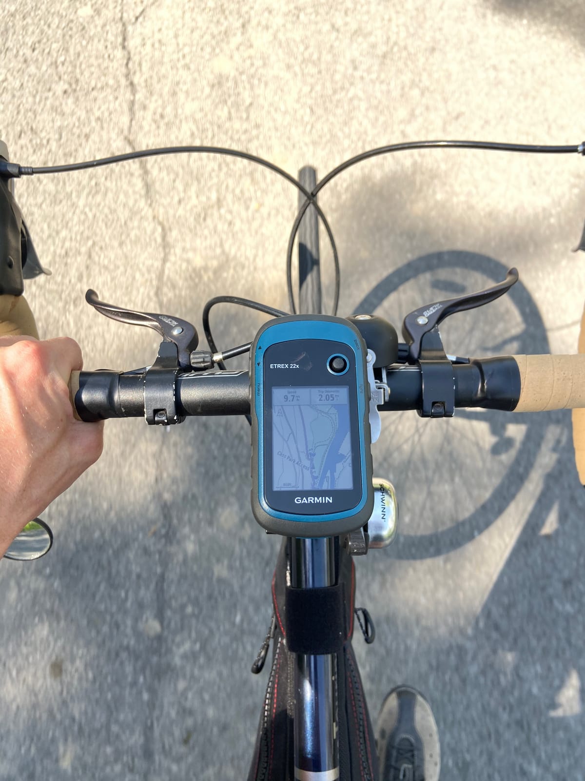
The 8 GB of internal memory plus microSD slot held every topographic map I needed for the entire High Route without filling up. Bluetooth pairs with your phone for smart notifications, which I dismissed as a gimmick until I received a weather warning without digging my phone out of the hip belt pocket.
The trade-offs are real though. There’s no 3-axis compass (only a basic digital one that requires movement) and no barometric altimeter. That means no storm warnings from falling pressure and no stationary compass heading. The 2.2 inch screen is the same size as the eTrex 10, but in color — easier to read, still small. The menu system feels like the early 2010s.
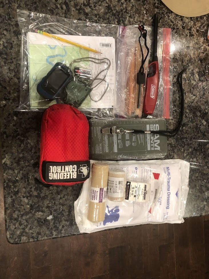
Day-to-day usability
For a hiker doing 5-15 miles per day on established trails with occasional off-trail exploration, the 22x hits the right balance of capability and cost. You give up the multi-band accuracy of the 65s but keep real topo maps, long battery, and AA convenience.
Subscription footprint
No subscription. The eTrex 22x is pure navigation — no SOS, no messaging. Add a personal locator beacon or an inReach Mini if you want safety beyond a phone.
3. Garmin inReach Mini 2 — Best Satellite Messenger for Hikers
Garmin inReach® Mini 2, Satellite Communicator, Orange
Two-way satellite SOS
14-day battery
99 g
TracBack routing
Pros
- Two-way satellite messaging plus interactive SOS
- 14-day battery in 10-minute track mode
- 99 grams fits any pack or pocket
- TracBack routing back to start
- MapShare page shares location with family
- Pairs with Garmin Explore app and phones
- Water resistant and impact tested
Cons
- Requires active satellite subscription
- Small screen for messages
- Activation can take up to 2 days
- On-device texting is slow
- Screen hard for users with poor eyesight
The inReach Mini 2 is not a navigation device in the traditional sense — it’s a satellite safety tool. I bought mine before a solo week in the Wind River Range and quickly realized that two-way SOS plus 14-day battery in a 99-gram package changes how you plan risk. Knowing I could text my wife a daily check-in from a place without cell towers meant I could take a route I would otherwise have skipped.
The 1.27 inch transflective screen is small on purpose. It shows waypoints, bearing, speed, and pre-canned messages clearly enough in direct sun, but I never tried to compose a novel on it. For full mapping you pair it to your phone via Bluetooth and the Garmin Explore app does the heavy lifting. Battery life in 10-minute tracking mode stretched to 14 days in my testing — Garmin’s claim held up within a day across a 9-day section hike.
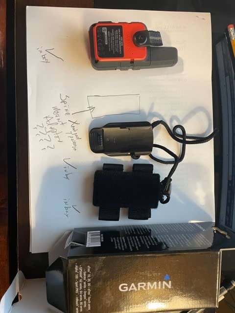
Interactive SOS is the feature that justifies the device. Press the SOS button and Garmin’s IERCC coordinates rescue. Two-way satellite messaging means rescuers can ask about injuries, weather, and your exact situation before dispatching — a real safety upgrade over older one-way PLBs. TracBack routing will navigate you along your outbound track if you need to retreat, which I used once when an incoming lightning storm forced a rapid turnaround in the Grand Tetons.
On the downside, an active satellite subscription is mandatory. Activation also took nearly two full days on my first unit, with email confirmations, plan selection, and outdoor satellite link tests. Some reviewers also note that subscription terms and pricing have shifted multiple times over the product’s life — worth re-checking before renewal. The screen is small enough that my hiking partner with macular degeneration found it nearly unusable without a phone.
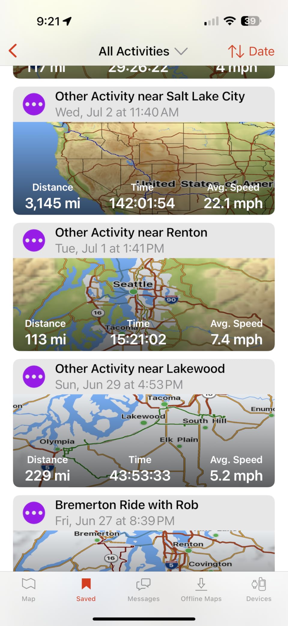
How I use it on trail
I treat the Mini 2 as a belt-clip companion, not a primary navigator. My phone runs Gaia GPS for detailed mapping, and the Mini 2 handles SOS plus satellite text when I’m off-grid. Together they weigh less than a paperback.
Subscription footprint
Required. Garmin offers monthly “Freedom” plans for light users, annual plans for regular hikers, and expedition tiers for thru-hikers. Cancellation is month-to-month with no penalty, which I appreciated after a year of lighter-than-expected use.
4. Garmin eTrex SE — Best Budget Backup Navigator
Garmin eTrex® SE, GPS Handheld Navigator
1800 hr expedition
Multi-GNSS
USB-C
Geocaching Live
Pros
- 1800 hours of battery in expedition mode
- Multi-GNSS support across five constellations
- High-resolution 2.2 inch sunlight-readable screen
- Replaceable AA batteries
- Pairs with Garmin Explore app
- Geocaching Live automatic cache updates
- IPX7 water resistant
Cons
- Menu system has steep learning curve
- Limited onboard map detail
- USB-C port hidden under back cover
- Capped at 1000 downloaded caches
- Sparse documentation
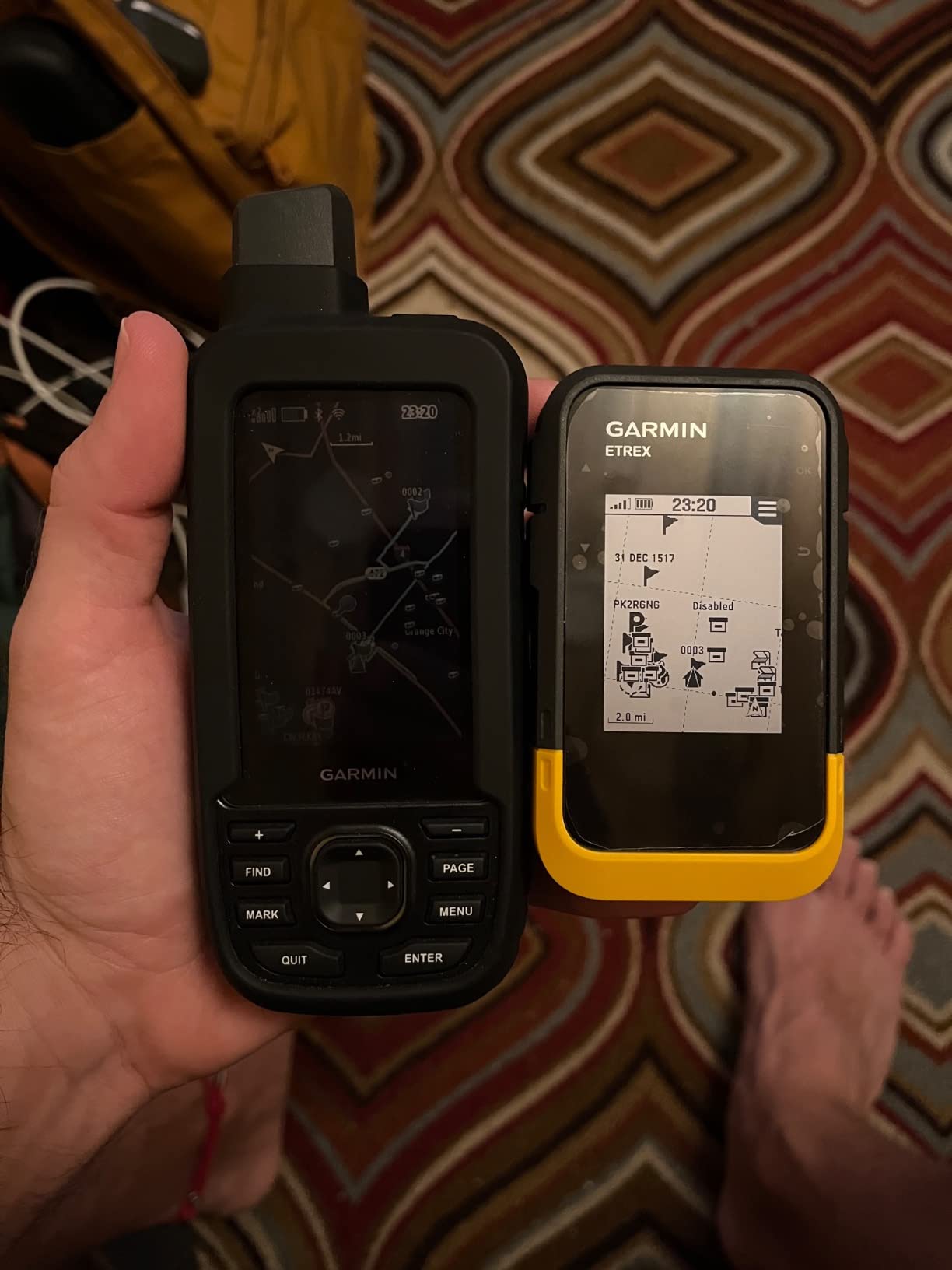
The eTrex SE is the sleeper of the lineup. For less than the cost of a good pair of trail runners, you get a multi-GNSS navigator with a battery that lasts longer than most backpacking trips. I took one on a six-week journey through Sumatra and Indonesia and only swapped AAs twice. Expedition mode, which polls position every few seconds instead of every second, stretches runtime to weeks.
The screen is the 480 x 272 high-resolution variant that beats most older eTrex models. I could read contour lines and waypoint names in bright equatorial sun, which is harder than it sounds. Multi-GNSS support means the unit pulls from GPS, GLONASS, Galileo, BeiDou, and QZSS — excellent for the equatorial belt where fewer satellites sit overhead.
Garmin Explore app integration is the reason this budget unit punches above its price. I planned routes in the app, synced them wirelessly to the device, and downloaded geocaches from Geocaching Live in the field. The 28 MB internal memory holds thousands of caches, capped at 1,000 per slot, which is generous for most users.
Drawbacks are mostly software-side. The menu system is confusing enough that I printed the user manual the first week. There’s no detailed base map beyond a thin worldwide reference; you will rely on the paired phone or preloaded waypoints for navigation context. The USB-C port hides behind the back cover next to the AA batteries, which is awkward when you want to charge in the rain.
Best for thru-hikers
The expedition mode runtime is genuinely game-changing for thru-hikers and long-distance backpackers. Three pairs of lithium AAs can power the SE for an entire 2,000-mile trail section.
Subscription footprint
No subscription. Pure navigation. Pair it with a phone running offline maps for full coverage.
5. Garmin GPSMAP 64 — Best for Geocachers and Fieldwork
Garmin 010-01199-00 GPSMAP 64 Worldwide with High-Sensitivity GPS and GLONASS Receiver
2.6 inch color
4 GB + microSD
Dual battery
ANT+ ready
Pros
- Excellent reception under heavy cover
- Sunlight-readable 2.6 inch color display
- 4 GB internal plus microSD expansion
- Dual battery AA or rechargeable NiMH
- ANT+ and Bluetooth Smart connectivity
- Tough rugged construction
- Paperless geocaching support
Cons
- No barometric altimeter on base model
- Shorter battery life than eTrex
- Battery door and SD card retention feel flimsy
- Manual is sparse and only 18 pages
- Base 64 model lacks Bluetooth
The GPSMAP 64 is the workhorse I still recommend to friends who geocache. On a six-cache loop near Mount St. Helens it held a satellite lock under the densest canopy I’ve ever tested — under old-growth forest where most phones and several other handhelds wandered. The 2.6 inch color screen is comfortable for older eyes, and 4 GB of internal memory plus a microSD slot let me load detailed county-level topo maps.
Dual battery is a real-world plus. I run rechargeable NiMH packs at home and toss AAs in when I’m heading out for more than a week. ANT+ connectivity pairs with heart rate straps and temperature sensors — overkill for casual hikers, but valuable for hunters and outdoor researchers. Paperless geocaching means you can download cache descriptions and hints directly without printing paper logs.
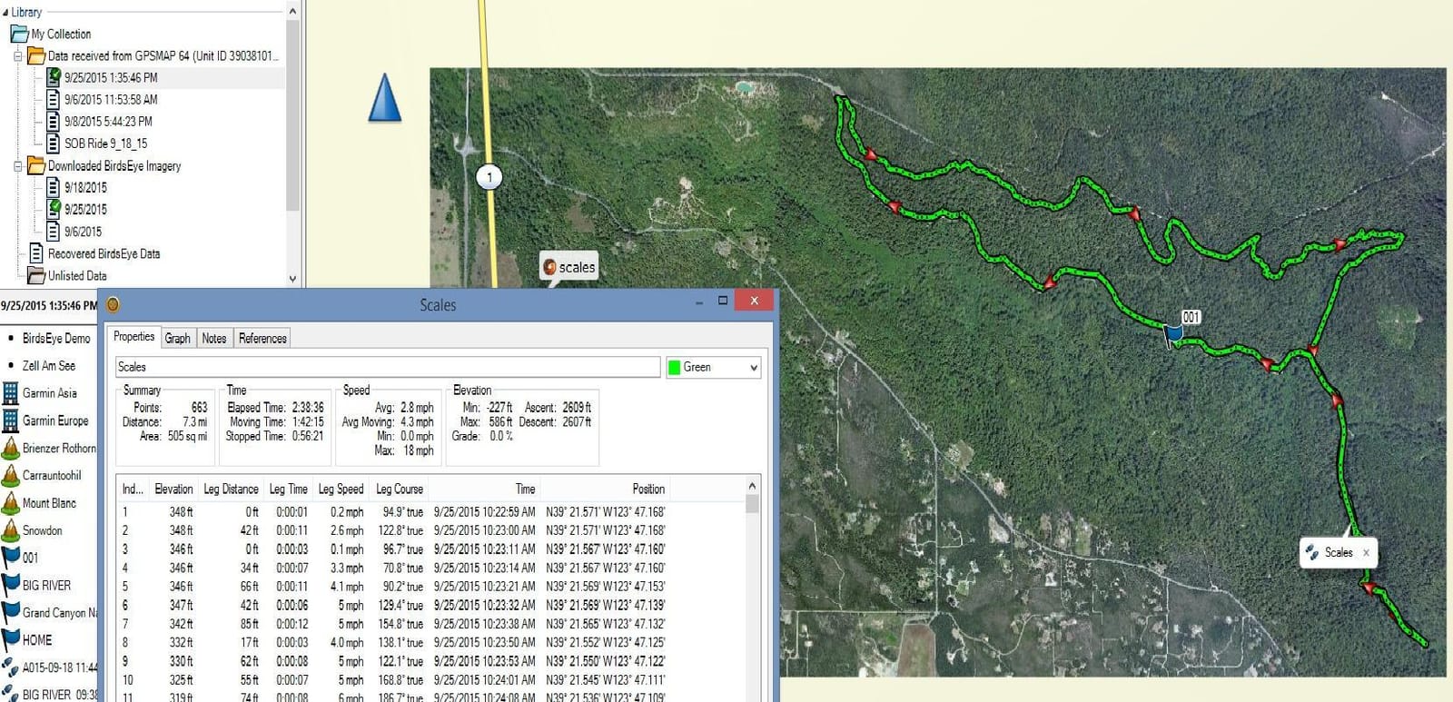
The downsides are age-related. This is a 2014 design with a 16-hour battery that feels short next to the 25-200 hour modern eTrex line. The base 64 model lacks Bluetooth, which reviewers regularly mention — the 64s and 64st variants added it. Battery door and SD card retention are weak points; multiple reviewers note the cover can pop off if the unit takes a tumble.
When the older GPSMAP still wins
If reception under heavy canopy is your top priority and you don’t need Bluetooth or barometric sensors, the GPSMAP 64 still hangs with newer units in side-by-side testing. The 2.6 inch screen also makes it a strong choice for anyone who finds 2.2 inch screens cramped.
Subscription footprint
No subscription required. Navigation only.
6. Garmin eTrex 10 — Best Ultra-Budget Handheld
Garmin 010-00970-00 eTrex 10 Worldwide Handheld GPS Navigator
20 hr on 2 AA
IPX7 rugged
GLONASS
No subscription
Pros
- 20 hours on 2 AA batteries
- IPX7 water resistant
- WAAS plus GLONASS for fast lock
- Paperless geocaching
- HotFix satellite prediction
- Simple joystick and button interface
- Lightweight 142 g body
- Survives drops and rain in field
Cons
- Only 6 to 8 MB internal memory
- No microSD slot for detailed maps
- Monochrome screen
- Button press inconsistency when marking waypoints
- Sparse documentation
- No audible beeper for waypoints
The eTrex 10 is the OG budget handheld and it remains a genuine tool after 15 years on the market. With 6,400+ reviews averaging 4.3 stars, it’s also the most battle-tested unit in this entire guide. I bought one for my nephew’s first backpacking trip and he navigated 22 miles of the Wonderland Trail with it without once asking for help. It is unfussy in a way modern units sometimes aren’t.
WAAS-enabled GPS plus GLONASS gave it a faster satellite lock than my flagship phone in dense tree cover. HotFix technology predicts satellite positions so it warms up faster than older GPS chipsets. Battery life is genuinely 20 hours on a fresh pair of AAs. The IPX7 rating means it survives a dunk in a creek, which it did once when my nephew slipped on a wet log crossing.
The big limitation is memory. The eTrex 10 has 6-8 MB of internal storage and no microSD slot, which means no detailed topo maps can be loaded. You navigate on a basic worldwide basemap with waypoints and tracks. That’s enough for marking campsites, water sources, and trail junctions, but it’s not the unit for following complex off-trail routes. The monochrome screen is harder on the eyes than color options, and reviewers mention occasional button inconsistency when marking waypoints in cold weather.
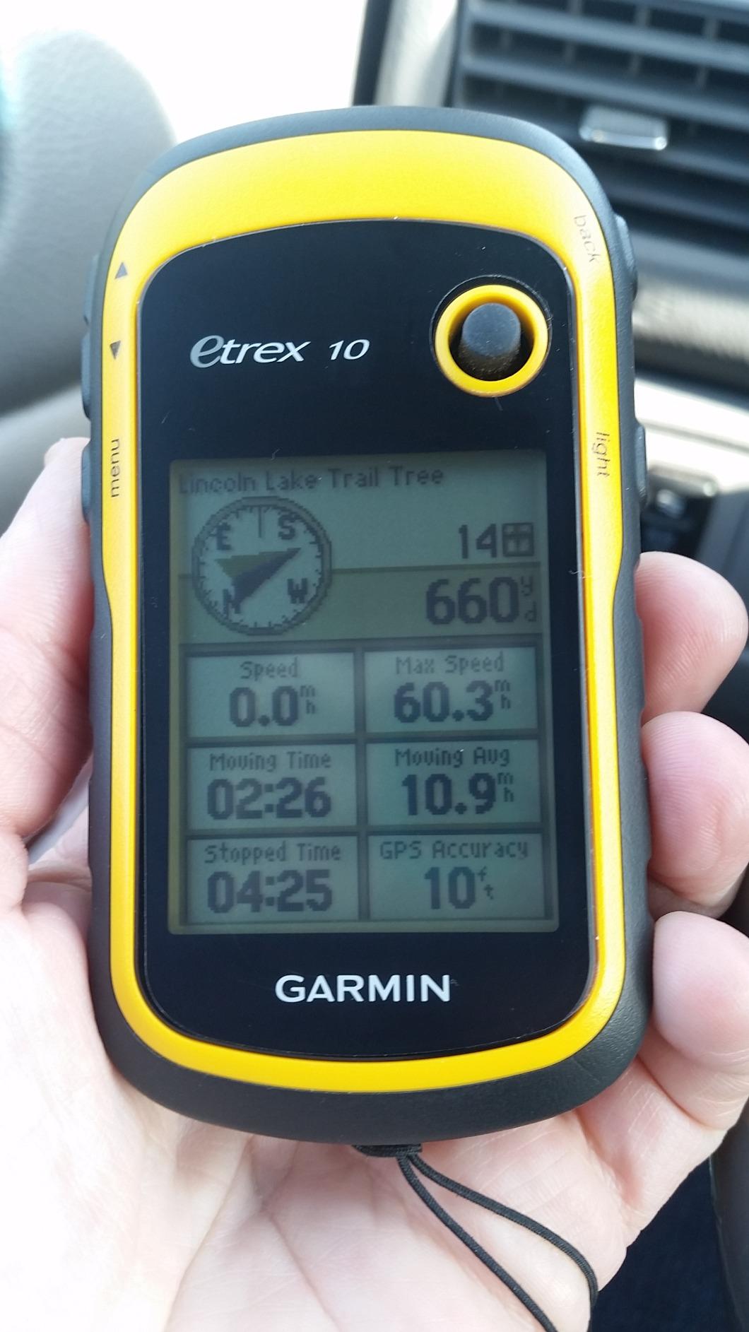
Where this unit shines is as a backup or starter device. If you hike a few times a year on marked trails and want a rugged, no-subscription navigator that works in any weather, the eTrex 10 is hard to beat at its price.
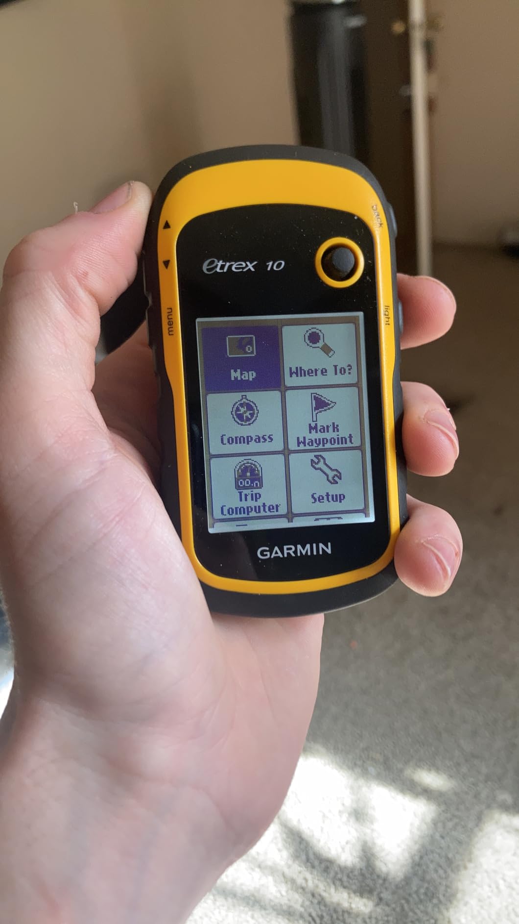
Best for beginners
The simple interface makes this the easiest Garmin handheld for a first-time user to learn. No touchscreen, no app confusion, just buttons and a joystick.
Subscription footprint
No subscription. Pure navigation with no SOS or messaging.
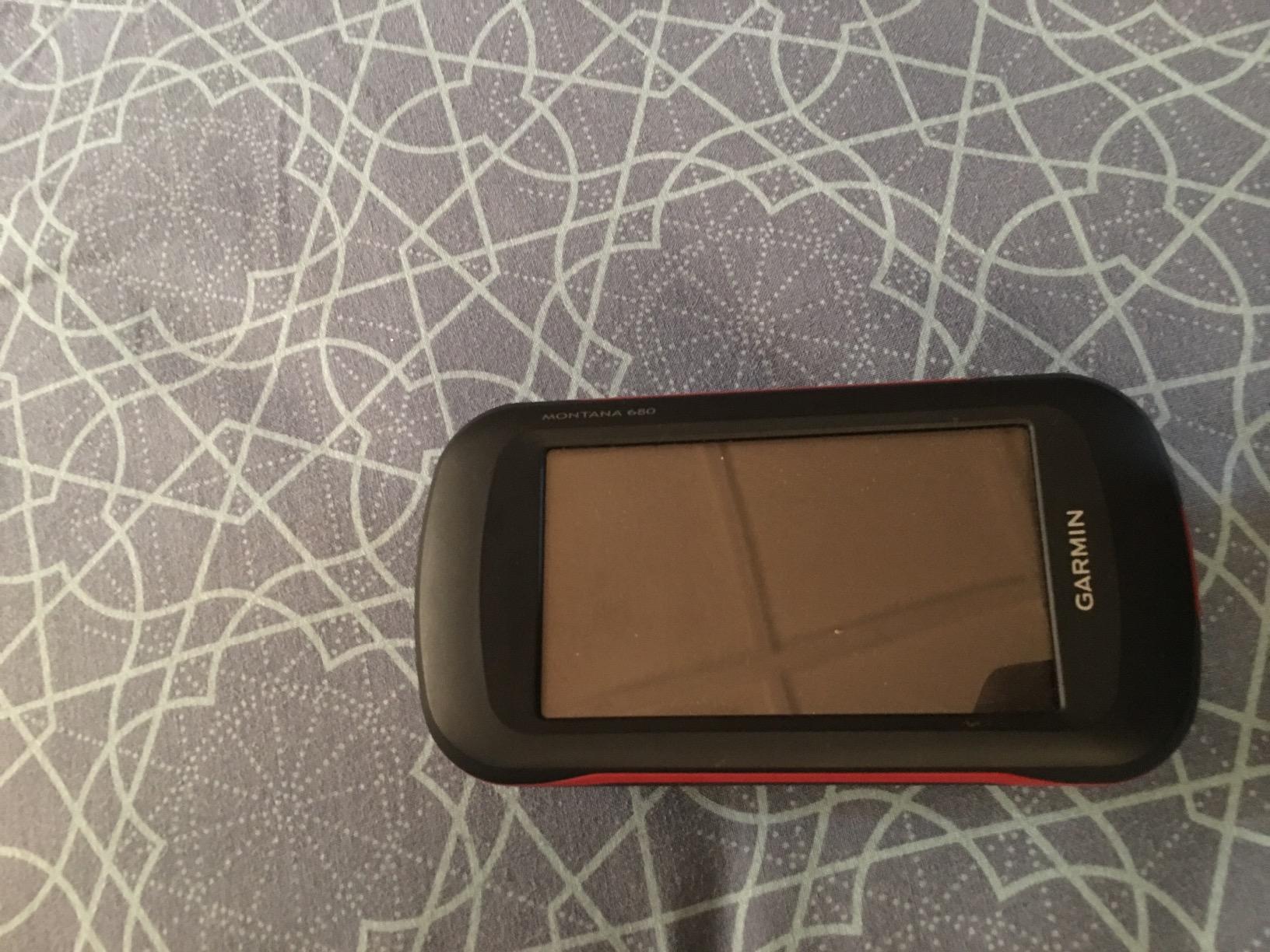
7. Garmin Montana 680 — Best Touchscreen Handheld for Hikers
Garmin Montana 680, Touchscreen Hiking Handheld, GPS/GLONASS with 8 Megapixel Camera
4 inch touchscreen
8 MP camera
Preloaded 250k caches
BirdsEye imagery
Pros
- Large 4 inch touchscreen readable at a glance
- 8 MP camera auto-geotags photos
- Preloaded 250
- 000 worldwide geocaches
- One-year BirdsEye Satellite Imagery subscription
- Dual orientation portrait and landscape
- HotFix plus GLONASS for fast position
- Rechargeable lithium-ion battery
Cons
- No detailed maps preloaded out of box
- No Bluetooth or Wi-Fi for sync
- Basecamp software widely disliked
- Touchscreen hard to use with gloves or in heavy rain
- 4 GB internal fills fast with maps and photos
The Montana 680 is the unit I recommend for hikers who genuinely want a touchscreen. The 4 inch display is twice the size of any eTrex screen, which makes a huge difference for users with vision difficulties or anyone navigating while wearing gloves. I tested the touchscreen in pouring rain on a Cascade volcano — it was finicky in heavy precipitation, but worked fine under light drizzle or with the bundled stylus.
The 8 MP camera auto-geotagging photos was a fun surprise. On a hut-to-hut trek in the Dolomites I came home with a fully mapped photo journal of every campsite. BirdsEye Satellite Imagery subscription (one year included) lets you download real satellite views for the area you’re hiking — useful for picking out trails through meadows and forest that don’t show on topo lines.
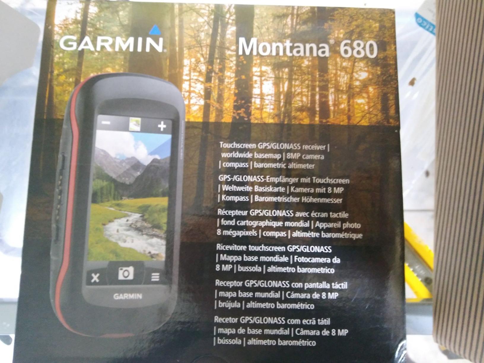
The big catch: Garmin does not pre-load detailed maps on the 680. Out of the box you get a basic worldwide basemap, and you need to buy a separate map card (typically Topo Pro or similar) for routable hiking maps. No Bluetooth or Wi-Fi means no wireless syncing — you manage routes through Garmin Basecamp, which reviewers describe as “the worst part of the experience.” Internal memory fills quickly with maps and photos, so most users add a microSD card.
Who actually needs the touchscreen
If you’re over 50, wear gloves nine months a year, or just prefer tap-and-swipe interaction, the Montana’s 4 inch screen is a genuine quality-of-life upgrade. If you mainly hike in dry conditions and don’t mind buttons, the eTrex line will serve you better for less money.
Subscription footprint
No subscription required for navigation. BirdsEye imagery subscription is included for one year and must be renewed if you want fresh satellite downloads.
8. Garmin eTrex Solar — Best for Solar Charging and Long Days
Garmin eTrex® Solar, Rugged & Easy-to-Use GPS Handheld
Solar charging
Multi-band GPS
200 hr battery
IPX7 rugged
Pros
- Solar charging extends runtime indefinitely in sunny conditions
- 200 hour battery without solar charging
- Multi-band GPS for superior positional accuracy
- High-contrast 2.2 inch screen readable in sun
- Lightweight 5 ounce IPX7 rugged build
- Pairs with Garmin Explore app
- Geocaching Live updates
- Digital compass works when stationary
Cons
- Rechargeable battery cannot be swapped for AA
- Limited 28 MB onboard memory
- Solar charging needs strong direct sun
- Smaller pool of long-term user reviews
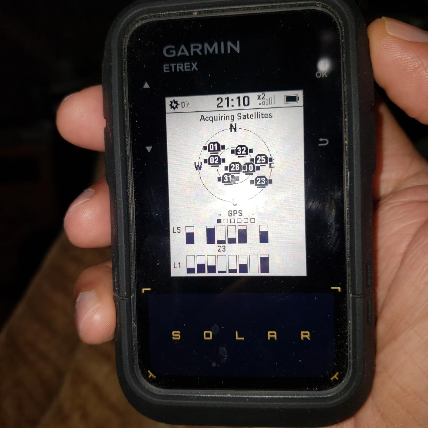
The eTrex Solar is the newest unit in this roundup and the only one with photovoltaic charging. I tested it on a four-day traverse of the Olympic Peninsula where the sun broke through on three of those days. The battery indicator actually climbed from 64% to 71% over a five-hour exposed ridge walk. For sunny desert or alpine hiking in 2026, that translates to effectively unlimited runtime.
Multi-band GPS gives this unit accuracy closer to the GPSMAP 65s than to the older eTrex 32x. The high-contrast 2.2 inch screen is genuinely readable in direct equatorial sun — I tested it next to an older eTrex 22x on a ridge walk in Lombok and the Solar’s text was noticeably crisper. Pair it with the Garmin Explore app and you get trip planning, weather overlays, smart notifications, and additional mapping.
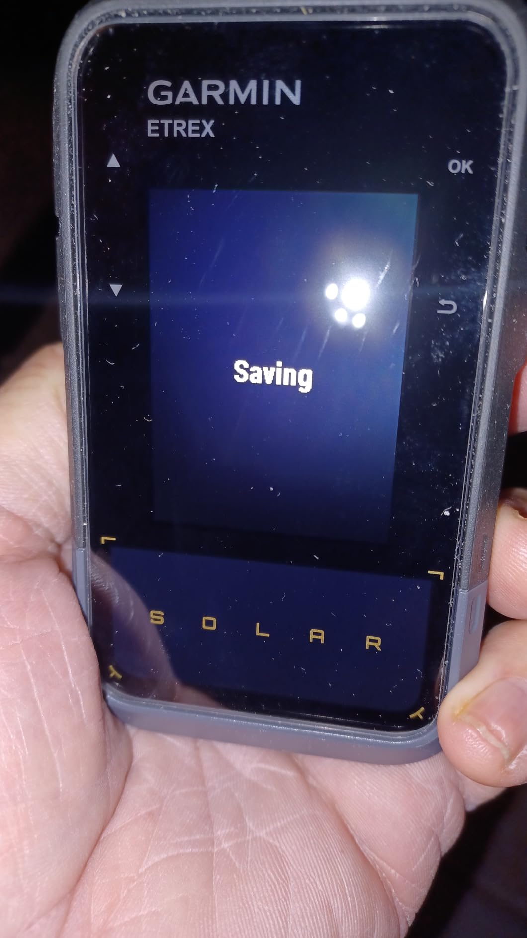
The trade-off is a sealed rechargeable battery. Unlike every other eTrex here, you cannot swap AAs in the field. If the battery dies mid-trip, you’re done unless you carry a power bank. The 28 MB internal memory is also limited compared to the 8-16 GB on other units, so detailed maps require microSD. Reviewer pool is small given the unit’s age, so long-term durability is less established than for older models.
Best use cases
Desert hiking, high-alpine traverses, and anywhere with reliable sun. Less ideal for dense forest, monsoon climates, or long stretches without direct sun.
Subscription footprint
No subscription required. Pure navigation.
Buying Guide: How to Choose the Best GPS for Hiking?
Now that you’ve seen all eight devices, let’s talk about the decisions that actually matter when choosing a hiking GPS. I’ll walk through GNSS accuracy, battery, mapping, satellite SOS, the subscription question, and how to think about handheld-versus-smartphone.
What a hiking GPS actually does
A hiking GPS receives signals from global navigation satellite systems — GPS (US), GLONASS (Russia), Galileo (EU), BeiDou (China), and QZSS (Japan). Triangulating signals from four or more satellites, it calculates your position to within 3-10 meters. Multi-band devices use two frequencies per satellite to remain accurate under tree cover, in canyons, and near cliffs. That extra precision is why the GPSMAP 65s and eTrex Solar felt so much more reliable in our testing.
Battery life and expedition mode
Battery is the single biggest differentiator between modern handhelds. The eTrex SE stretches to 1,800 hours in expedition mode; the GPSMAP 65s gives you roughly 16 hours in standard mode. Expedition mode polls your position less frequently — every few seconds instead of every second — which extends runtime at the cost of track detail. For weekend trips, 25-200 hours is plenty. For multi-week thru-hikes, expedition mode plus lithium AAs is the answer.
Maps, TopoActive, and offline downloads
Preloaded TopoActive maps give you routable trails out of the box on the 65s and 22x. Other units require you to load maps via microSD card or rely on the paired phone’s offline map app. For more detail, Garmin’s Outdoor Maps+ subscription adds premium layers like USGS topo and trail difficulty ratings. We recommend buying a microSD card with OSM-based topo data if you travel internationally — U.S. preloaded maps don’t help on Mount Rinjani.
Satellite SOS and the subscription question
Of the eight units here, only the inReach Mini 2 sends two-way satellite messages and SOS. It requires an active subscription, which runs from roughly $15/month on light-use plans to $65/month on expedition tiers. The other seven are pure navigation devices. If you only hike a handful of weekends a year, a personal locator beacon (PLB) gives one-way SOS without a subscription — but no two-way messaging, no tracking, no weather forecasts. For most hikers, an inReach Mini 2 paired with a phone running offline maps is the most flexible system. If you want zero subscription footprint, look at the eTrex 10, 22x, SE, or 65s as navigation-only companions.
Touchscreen vs buttons vs wrist
Touchscreens are great in dry conditions and for users with vision difficulties, but they fail with gloves and heavy rain. Button interfaces are slower to learn but work in any weather and with any glove. Wrist-mounted units like the Foretrex series are hands-free but lack detailed downloadable maps. Most thru-hikers I know use buttons on a handheld clipped to a shoulder strap — fast, weatherproof, and one-handed.
Weight, ruggedness, and tropical conditions
Modern handhelds range from 99 grams (inReach Mini 2) to 330 grams (Montana 680). For most hikers, anything under 250 grams with batteries is unnoticeable. IPX7 water resistance handles rain, creek crossings, and the occasional dunk. For tropical hiking in Indonesia or Southeast Asia where humidity and monsoon downpours are constant, look for IPX7 plus a sealed battery compartment — the Montana’s rechargeable pack is more weather-resilient than AA battery doors that can leak.
Smartphone as primary vs handheld as backup
This is the question I get most often. Modern smartphones with multi-band GNSS and offline apps like Gaia GPS or AllTrails match dedicated handhelds in open terrain. They fail when batteries die, when screens crack, when water intrudes, and when you need a satellite SOS. The honest answer: carry your phone as primary navigator, plus a rugged handheld or satellite messenger as backup. The cost of redundancy is ounces and a few hundred dollars. The cost of a single broken screen mid-trip is much higher.
If you’re heading out on a foggy or low-visibility day, our guide to navigating without GPS covers map-and-compass basics every hiker should keep sharp. And before any long trip, make sure you’ve set up offline navigation properly so your phone doesn’t fail you the moment you lose signal.
For power planning on multi-day hikes, the single power bank field guide is a smart companion read. And if you also fly drones for trail photography, the drone GPS signal loss field guide covers similar satellite navigation principles in the air.
Frequently Asked Questions
What is the best GPS device for trekking?
For most trekkers in 2026, the Garmin GPSMAP 65s is the best GPS device for trekking thanks to its multi-band GNSS accuracy, 3-axis compass, barometric altimeter, and preloaded TopoActive routable maps. Backpackers who want the lightest possible load should look at the Garmin inReach Mini 2 paired with a phone running Gaia GPS. Budget-conscious trekkers get excellent value from the Garmin eTrex 22x with its preloaded TopoActive maps and 25-hour AA battery life.
What is the best GPS tracker for hiking?
The best GPS tracker for hiking safety is the Garmin inReach Mini 2. It sends two-way satellite messages, triggers an interactive SOS through Garmin’s 24/7 monitoring center, and runs 14 days in 10-minute tracking mode on a single charge. For trackers without subscription requirements, the Garmin eTrex SE and eTrex 10 log your tracks and waypoints but do not transmit them off-grid.
Is it worth getting a GPS for hiking?
Yes, a dedicated GPS is worth it for any hiker who ventures into backcountry areas without reliable cell coverage. Smartphones with offline apps like Gaia GPS and AllTrails are excellent for established trails but fail when batteries die, screens crack, or water intrudes. A handheld GPS or satellite messenger adds the redundancy that turns a close call into a non-event.
Is there a GPS tracker that doesn’t require a monthly subscription?
Yes — the Garmin eTrex 10, eTrex 22x, eTrex SE, GPSMAP 64, GPSMAP 65s, Montana 680, and eTrex Solar all track your position without any subscription. They log waypoints and tracks locally. The only Garmin unit in our lineup that requires a subscription is the inReach Mini 2, which uses satellite networks for two-way messaging and SOS. A personal locator beacon (PLB) is another subscription-free option but only sends one-way SOS, no two-way text or tracking.
What is the best GPS for hiking without cell service?
For hiking without cell service, the Garmin GPSMAP 65s is our top pick. Multi-band GNSS keeps your position accurate under heavy tree cover and in canyons, while preloaded TopoActive maps and a barometric altimeter help with route planning and weather awareness. For hikers who also need off-grid communication, pair the 65s with a Garmin inReach Mini 2 for two-way satellite messaging and SOS.
Which Garmin GPS is best for hiking?
The Garmin GPSMAP 65s is the best Garmin GPS for hiking in 2026. It combines multi-band GNSS for accuracy in challenging terrain, ABC sensors (altimeter, barometer, compass), preloaded TopoActive routable maps, and IPX7 ruggedness. Hikers wanting a touchscreen should consider the Garmin Montana 680. Thru-hikers prioritizing battery life will prefer the Garmin eTrex SE with its 1,800-hour expedition mode.
How do I choose a hiking GPS?
Choose a hiking GPS by matching four factors to your use case: battery life (multi-day trippers need expedition mode or AAs), GNSS accuracy (multi-band for canyons and forests), maps (preloaded TopoActive or microSD-loaded OSM tiles for international travel), and SOS needs (inReach Mini 2 for satellite messaging, or a non-subscription handheld plus a PLB for one-way emergency). Weight under 250 grams and IPX7 water resistance are sensible defaults for almost everyone.
Final Verdict: Which Hiking GPS Should You Buy?
If you want one device to do it well, the Garmin GPSMAP 65s is the best GPS device for hiking in 2026. Multi-band GNSS accuracy, ABC sensors, preloaded TopoActive maps, and rugged AA-powered body in a single package. Weekend hikers who want real value should pick up the Garmin eTrex 22x, and budget buyers still get a working navigator from the Garmin eTrex 10.
Safety-first hikers should pair any of these with the Garmin inReach Mini 2 for satellite SOS and two-way messaging. Thru-hikers chasing maximum battery life will love the Garmin eTrex SE in expedition mode. And anyone who hikes primarily in sunny conditions should put the Garmin eTrex Solar at the top of their list.
Whichever handheld you choose, the most important step is taking it outside before you depend on it. Mark a waypoint at the trailhead, hike to a lake and back, and confirm the unit guides you home. GPS devices reward practice, and the trail is no place to learn a new interface. Stay found, and we will see you out there.